"I am not one who was born in the custody of wisdom. I am one who is fond of olden times and intense in quest of the sacred knowing of the ancients."
Gustave Courbet
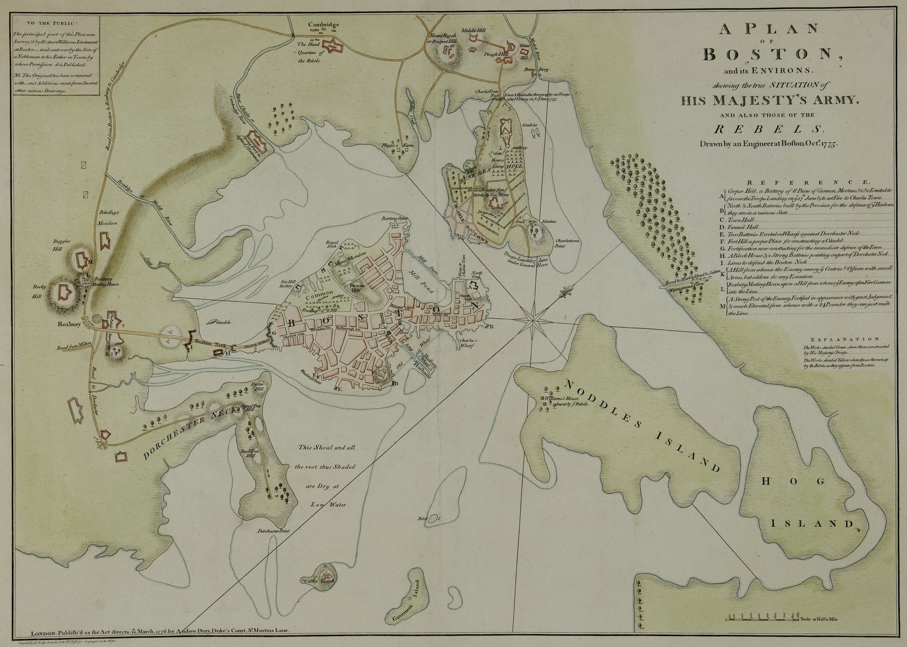
I am told there are people who do not care for maps, and I find it hard to believe. The names, the shapes of the woodlands, the courses of the roads and rivers, the prehistoric footsteps of man still distinctly traceable up hill and down dale, the mills and the ruins, the ponds and the ferries, perhaps the standing tone or the Druidic Circle on the heath; here is an inexhaustible fund of interest for any man with eyes to see or twopence-worth of imagination to understand with! No child but must remember laying his head in the grass, staring into the infinitesimal forest and seeing it grow populous with fairy armies.
Somewhat in this way, as I paused upon my map of Treasure Island, the future character of the book began to appear there visibly among imaginary woods; and their brown faces and bright weapons peeped out upon me from unexpected quarters, as they passed to and fro, fighting and hunting treasure, on these few square inches of a flat projection. The next thing I knew I had some papers before me and was writing out a list of chapters. How often have I done so, and the thing gone no further! But there seemed elements of success about this enterprise.
A prerequisite for finding our way through any story or novel is to be lost: the journey can’t begin until we’ve been set down in a place somehow unfamiliar. As readers, we are content, even delighted, to be lost, in the sense that we are both absorbed and uncertain of where we are or where we are going, as long as we feel confident we are following a guide who has not only the destination but our route to it clearly in mind.
Peter Turchi, from Maps of the Imagination: The Writer as Cartographer
On this day in 1607, English settlers arriving under the authority of the Virginia Company of London chartered by King James I, established the first permanent English settlement in North America at a place they named Jamestown.
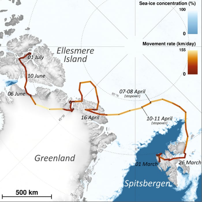
On March 26, 2018, a young Arctic fox left her birthplace of Spitsbergen, an island in Norway’s Svalbard Archipelago, and embarked on a harrowing westward journey. Seventy-six days and more than 2,175 miles later, the roughly one-year-old female arrived on Canada’s Ellesmere Island, astonishing researchers who say the animal, traveling at a maximum pace of 96 miles per day, exhibited the fastest movement rate recorded for her species to date.
ANALEMMA The sun’s position in the sky, noted at the same location at the same time of day throughout a year, forms an analemma. This shows the sun’s apparent swinging from its northernmost position, at the analemma’s uppermost point, at summer solstice, to its southernmost position/lowest point, at winter solstice.
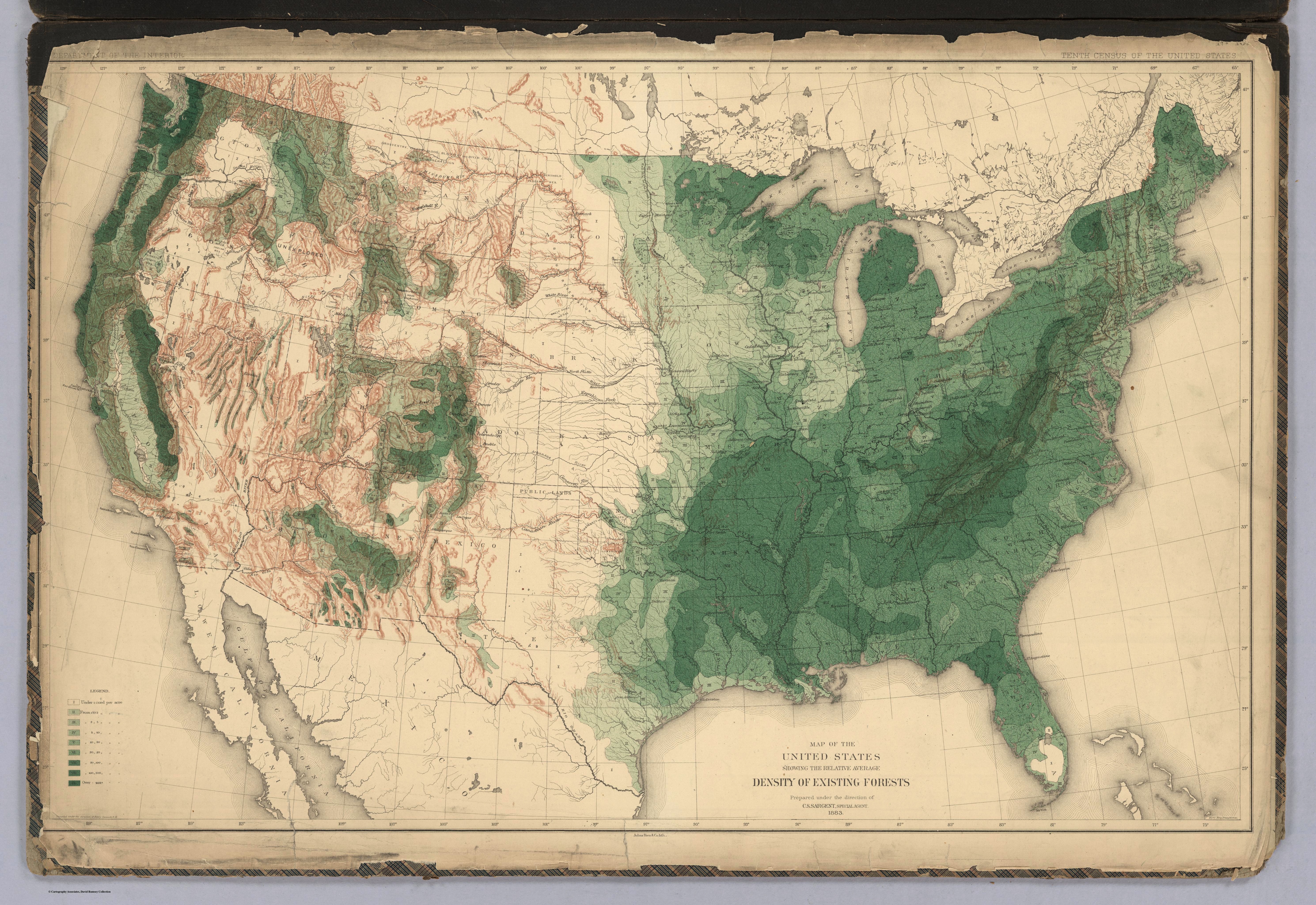
Using NASA satellite data, scientists have produced a map that details the height of the world’s forests. Although
there are other local- and regional-scale forest canopy maps, the new map is
the first that spans the entire globe based on one uniform method.
The work -- based on data collected by NASA's ICESat, Terra, and Aqua
satellites -- should help scientists build an inventory of how much carbon the
world’s forests store and how fast that carbon cycles through ecosystems and
back into the atmosphere. Michael Lefsky of the Colorado State University
described his results in the journal Geophysical Research Letters.
There are many ways of moving through the Universe – of
travelling from one point to another over great, even extraordinary distances.
There is also a way of using the world for your own ends: taking advantage of
slopes, winds, currents or gravitational fields, as fuel-efficient resources
for your own acceleration.
Gravity-assisted space travel is one such example, when a
spacecraft uses the gravitational pull of a nearby planet or other celestial
body to ‘slingshot’ itself toward another, more distant goal. Crucially, the
target or destination here is one that could not have been reached without this
assistance, not only in terms of the ship’s velocity but even in terms of its
original direction of travel.
You head toward one place to get to another – or,
channelling Hamlet, "by indirections find directions out."
Remarkably, this metaphorically rich idea of heading in one
direction to arrive somewhere else entirely connects gravitational slingshots
with the oceangoing people who settled remote island chains in the South
Pacific. These ancient mariners learned to use a combination of seasonal winds
and celestial navigation to push ever farther east, reaching the most extreme
outer edges of Polynesia.
"The strength of a man’s virtue should not be measured by his special exertions but by his habitual acts.” Blaise Pascal
SEARCH THIS BLOG
REMEMBER
SUPPORT OUR TROOPS
C.S. LEWIS
G.K. CHESTERTON
"Tradition refuses to submit to the small and arrogant oligarchy of those who merely happen to be walking about."
KENNETH GRAHAME
"O Mole! the beauty of it! The merry bubble and joy, the thin, clear, happy call of the distant piping!"
BARRY HINES
"'Look, there's Billy Casper there wi' his pet hawk.' I could shout at 'em. It's not a pet, Sir. Hawks are not pets. Or when folks stop me and say, 'Is it tame?' Is it heck tame, it's trained, that's all. It's fierce, and it's wild, an' it's not bothered about anybody, not even about me right. And that's why it's great." (A Kestrel for a Knave)
GEORDIE WALKER
FIORENTINO
The Musician Angel
ECHO & THE BUNNYMEN
JIM HARRISON
37. Beware, O wanderer, the road is walking too, said Rilke one day to no one in particular as good poets everywhere address the six directions. If you can’t bow, you’re dead meat. You’ll break like uncooked spaghetti. Listen to the gods. They’re shouting in your ear every second.
GIMME FIIIVE!
THE FURS
Suggestions
WOLFGANG AMADEUS MOZART
"When I am, as it were, completely myself, entirely alone and of good cheer – say travelling in a carriage or walking after a good meal, or during the night when I cannot sleep – it is on such occasions that my ideas flow best and most abundantly. Whence, and how, they come I know not ; nor can I force them. Those ideas that please me I retain in memory and am accustomed, as I have been told, to hum them to myself. If I continue in this way, it soon occurs to me how I may turn this dainty morsel to account, so as to make a good dish of it. That is to say, agreeable to the rules of counterpoint, to the peculiarities of various instruments etc. All this fires my soul, and, provided I am not disturbed, my subject enlarges itself, becomes methodised, and defined, and the whole, though it be long, stands almost complete and finished in my mind, so that I can survey it like a fine picture or a beautiful statue at a glance. Nor do I hear in my imagination the parts successively, but I hear them, as it were, all at once. What a delight this is, I cannot tell."
HOOKY
MARY SHELLEY
GREEN MAN
"Feel wind stir the greenwood, or turn pages of a book made from his flesh -- lean close, then, and hear, Green Man's voice."
WALLACE STEVENS
"Technique is the proof of your seriousness."
N.C. WYETH
Cold Maker, Winter, 1909
Dick's Pour House, Lake Leelanau, Michigan
Smelt Basket
PanAm "Pacific Clipper" (1941)
JOHN SINGER SARGENT
Elizabeth Winthrop Chanler (detail), 1893
WILLIAM F. BUCKLEY JR.
"We are so concerned to flatter the majority that we lose sight of how very often it is necessary, in order to preserve freedom for the minority, let alone for the individual, to face that majority down."
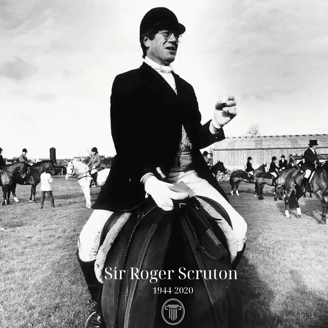
SIR ROGER SCRUTON
"Beauty is a value, as important as truth and goodness."
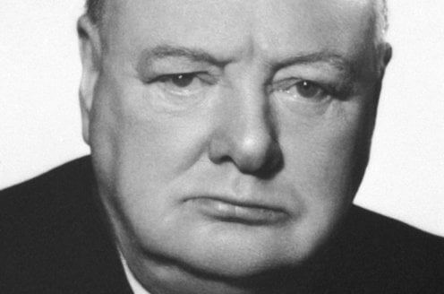
SIR WINSTON CHURCHILL
"A gentleman does not have a ham sandwich without mustard."
J.R.R. TOLKIEN
"If more of us valued food and cheer and song above hoarded gold, it would be a merrier world."
JOHN MASEFIELD
"When the midnight strikes in the belfry dark/And the white goose quakes at the fox’s bark/We saddle the horse that is hayless, oatless/Hoofless and pranceless, kickless and coatless/We canter off for a midnight prowl/Whoo-hoo-hoo, says the hook-eared owl."
IKKYU
VIRGINIA WOOLF
OLD MISSION
JOHN QUINCY ADAMS
"However tiresome to others, the most indefatigable orator is never tedious to himself. The sound of his own voice never loses its harmony to his own ear; and among the delusions, which self-love is ever assiduous in attempting to pass upon virtue, he fancies himself to be sounding the sweetest tones."
SIR KENNETH GRAHAME
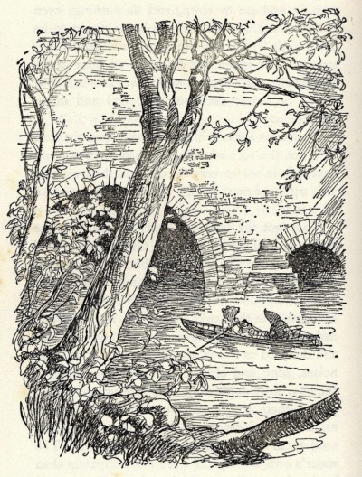
"Take the Adventure, heed the call, now, ere the irrevocable moment passes! ‘Tis but a banging of the door behind you, a blithesome step forward, and you are out of the old life and into the new! Then some day, some day long hence, jog home here if you will, when the cup has been drained and the play has been played, and sit down by your quiet river with a store of goodly memories for company."
JIM HARRISON
"Barring love I'll take my life in large doses alone--rivers, forests, fish, grouse, mountains. Dogs."
WILLIAM WORDSWORTH
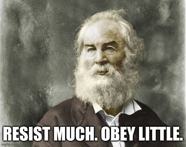
WALT WHITMAN
The spotted hawk swoops by and accuses me, he complains of my gab and my loitering. I too am not a bit tamed, I too am untranslatable, I sound my barbaric yawp over the roofs of the world. The last scud of day holds back for me, It flings my likeness after the rest and true as any on the shadow’d wilds, It coaxes me to the vapor and the dusk. I depart as air, I shake my white locks at the runaway sun, I effuse my flesh in eddies, and drift it in lacy jags. I bequeath myself to the dirt to grow from the grass I love, If you want me again look for me under your boot-soles. You will hardly know who I am or what I mean, But I shall be good health to you nevertheless, And filter and fibre your blood. Failing to fetch me at first keep encouraged, Missing me one place search another, I stop somewhere waiting for you.
SAMUEL ADAMS
"It is a very great mistake to imagine that the object of loyalty is the authority and interest of one individual man, however dignified by the applause or enriched by the success of popular actions."
TAO TE CHING, Lao Tzu
MARCUS AURELIUS
"Is your cucumber bitter? Throw it away. Are there briars in your path? Turn aside. That is enough. Do not go on and say, 'Why were things of this sort ever brought into this world?' neither intolerable nor everlasting - if thou bearest in mind that it has its limits, and if thou addest nothing to it in imagination. Pain is either an evil to the body (then let the body say what it thinks of it!)-or to the soul. But it is in the power of the soul to maintain its own serenity and tranquility."
VINCENT van GOGH
"What am I in the eyes of most people? A nonentity or an oddity or a disagreeable person — someone who has and will have no position in society, in short a little lower than the lowest. Very well — assuming that everything is indeed like that, then through my work I’d like to show what there is in the heart of such an oddity, such a nobody. This is my ambition, which is based less on resentment than on love in spite of everything, based more on a feeling of serenity than on passion. Even though I’m often in a mess, inside me there’s still a calm, pure harmony and music. In the poorest little house, in the filthiest corner, I see paintings or drawings. And my mind turns in that direction as if with an irresistible urge. As time passes, other things are increasingly excluded, and the more they are the faster my eyes see the picturesque. Art demands persistent work, work in spite of everything, and unceasing observation."
RICK LEACH (1975-1978)
48 career games started; 2,176 rushing yards, 34 touchdowns; 4,284 passing yards, 48 touchdowns; 7-2 career record versus Michigan State, Notre Dame, and Ohio combined; three-time All-American, All-Big Ten, and Heisman finalist
RICHARD ADAMS
"One cloud feels lonely."
JOHN SINGER SARGENT
"Cultivate an ever continuous power of observation. Wherever you are, be always ready to make slight notes of postures, groups and incidents. Store up in the mind a continuous stream of observations."
WINSLOW HOMER
The Lone Boat, North Woods Club, Adirondacks, 1892
THOMAS BABINGTON MACAULEY
And how can man die better / Than facing fearful odds / For the ashes of his fathers / And the temples of his gods
WATERHOUSE, BOREAS, 1903
WHITE HORSES Far out at sea / There are horses to ride, / Little white horses / That race with the tide. / Their tossing manes / Are the white sea-foam, / And the lashing winds / Are driving them home- / To shadowy stables / Fast they must flee, / To the great green caverns / Down under the sea. Irene Pawsey
CINDY WILSON
UMBERTO LIMONGIELLO
"The euphony transformed me and inundated my soul in a roguish countenance, the likes of which I had know well in younger days. Such impishness soon drove out the complaints of the day."
F. SCOTT FITZGERALD
"I don't want to repeat my innocence. I want the pleasure of losing it again.” This Side of Paradise
RALPH WALDO EMERSON
"In skating over thin ice, our safety is in our speed."
ROBERT PLANT
GARY SNYDER
"There are those who love to get dirty and fix things. They drink coffee at dawn, beer after work. And those who stay clean, just appreciate things. At breakfast they have milk and juice at night. There are those who do both, they drink tea.”
IMMANUEL KANT
"Enlightenment is man's emergence from his self-imposed nonage. Nonage is the inability to use one's own understanding without another's guidance. This nonage is self-imposed if its cause lies not in lack of understanding but in indecision and lack of courage to use one's own mind without another's guidance. Dare to know! Sapere aude. 'Have the courage to use your own understanding,' is therefore the motto of the enlightenment."
DAN CAMPBELL
"We’re gonna kick you in the teeth, and when you punch us back we’re gonna smile at you, and when you knock us down we’re going to get up, and on the way, we’re going to bite a kneecap off. We’re going to stand up, and it’s going to take two more shots to knock us down. And on the way up, we’re going to take your other kneecap, and we’re going to get up, and it’s gonna take three shots to get us down. And when we do, we’re gonna take another hunk out of you."
THOMAS HUXLEY
"Sit down before fact as a little child, be prepared to give up every conceived notion, follow humbly wherever and whatever abysses nature leads, or you will learn nothing."
JOHN DRYDEN
"Bold knaves thrive without one grain of sense, but good men starve for want of impudence.”
WILLIAM BLAKE
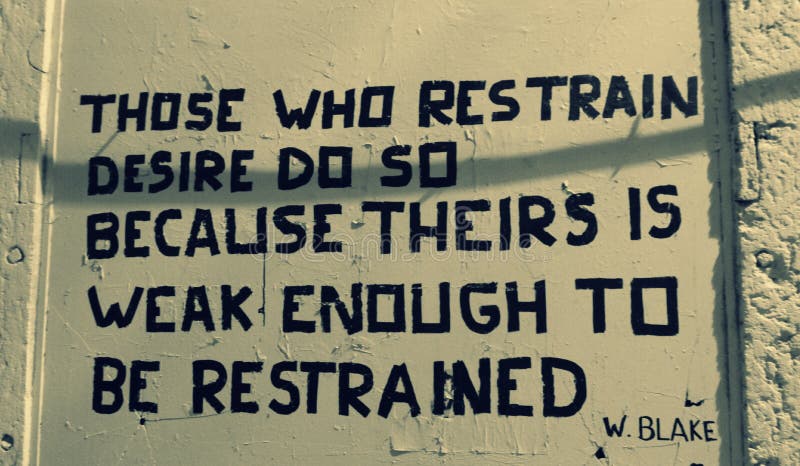
"Those who restrain desire do so because theirs is weak enough to be restrained."
HERMANN HESSE
"Whoever wants music instead of noise, joy instead of pleasure, soul instead of gold, creative work instead of business, passion instead of foolery, finds no home in this trivial world of ours."
GEORGE MACDONALD
"Certainly work is not always required of a man. There is such a thing as a sacred idleness, the cultivation of which is now fearfully neglected."
REV. DR. CORNEL WEST
"You have to have a habitual vision of greatness … you have to believe in fact that you will refuse to settle for mediocrity. You won’t confuse your financial security with your personal integrity, you won’t confuse your success with your greatness or your prosperity with your magnanimity … believe in fact that living is connected to giving.”
IT'S A WONDERFUL LIFE
"You see George, you've really had a wonderful life. Don't you see what a mistake it would be to just throw it away?"
WOODY
"There's a basic rule which runs through all kinds of music, kind of an unwritten rule. I don't know what it is, but I've got it."
MIGGY
"Exuberance is beauty." (William Blake)
Festina Lente
GARAGE SALINGER
JOHN RUSKIN
"Sunshine is delicious, rain is refreshing, wind braces us up, snow is exhilarating; there is really no such thing as bad weather, only different kinds of good weather."
Spitzweg, The Bookworm, 1850
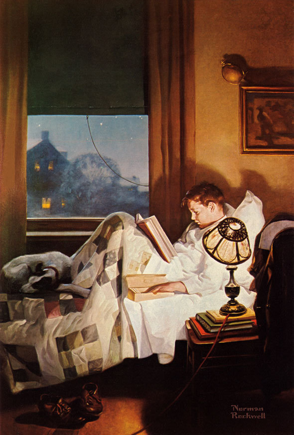
"Literature is the most agreeable way of ignoring life.” Fernando Pessoa
WILLIAM F. BUCKLEY JR.
"[I]in the spiky fall season, days like today with the little chill that makes one feel freshly laundered ..."
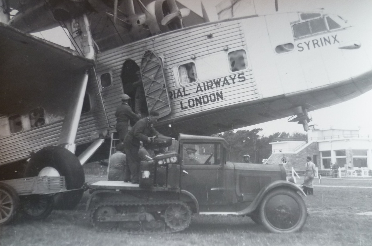
SYRINX
TINA WEYMOUTH
WALT WHITMAN
"Do I contradict myself? Very well then I contradict myself, (I am large, I contain multitudes)."
H.L. MENCKEN
"Every normal man must be tempted, at times, to spit on his hands, hoist the black flag, and begin slitting throats. But this business, alas, is fatal to the placid moods and fine other-worldliness of the poet."
FYODOR DOSTOEVSKY
"I say let the world go to hell, but I should always have my tea."
DUDLEY
"We all come from our own little planets. That's why we're all different. That's what makes life interesting."
HERMAN MELVILLE
"We're just dancing in the rain ..."
LEO TOLSTOY
"If, then, I were asked for the most important advice I could give, that which I considered to be the most useful to the men of our century, I should simply say: in the name of God, stop a moment, cease your work, look around you."
HAROLD BLOOM
"It is hard to go on living without some hope of encountering the extraordinary."
I'm reading ...
Unlikely General: "Mad" Anthony Wayne and the Battle for America
CURRENT MOON
ARTHUR RIMBAUD
"I have stretched ropes from steeple to steeple; Garlands from window to window; Golden chains from star to star ... And I dance."
RUMI
"When you do things from your soul, you feel a river moving in you, a joy.”
Shunryu Suzuki, "Beginner's Mind"
"In the beginner's mind there are many possibilities, but in the expert's there are few."
JIM HARRISON
¨The danger of civilization, of course, is that you will piss away your life on nonsense.¨
NEW ORDER
van EYCK, PORTRAIT of a MAN in a RED TURBAN, 1433
"The Poet is the Priest of The Invisible." Wallace Stevens
Atget, Notre-Dame de Paris, 1923
Technique.
"Technique is the proof of your seriousness." Wallace Stevens
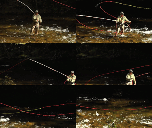
TIGHT LINES!
W.B. Yeats
THE CAPTAIN
NICHOLAS HAWKSMOOR
"Whatever is goode in its kinde ought to be preserv'd in respect for antiquity, as well as our present advantage, for destruction can be profitable to none but such as live by it."
THOMAS PAINE
"Whatever is my right as a man is also the right of another; and it becomes my duty to guarantee as well as to possess."
LIBERTY
"...the imprisoned lightning"
WILLIAM F. BUCKLEY JR.
"The best defense against a usurpatory government is an assertive citizenry."
SIR PHILIP PULLMAN
"We don’t need a list of rights and wrongs, tables of dos and don’ts: we need books, time, and silence."
TRUE-BORN
THOMAS MERTON
C.S. LEWIS
“We may ignore, but we can nowhere evade, the presence of God. The world is crowded with him. He walks everywhere incognito.” (Thank you, Mr. Wade)



















































































_-_Geographicus_-_WesternTerritory-cary-1805.jpg)