Showing posts with label National Geographic. Show all posts
07 February 2019
26 March 2018
06 January 2018
Rollicking.
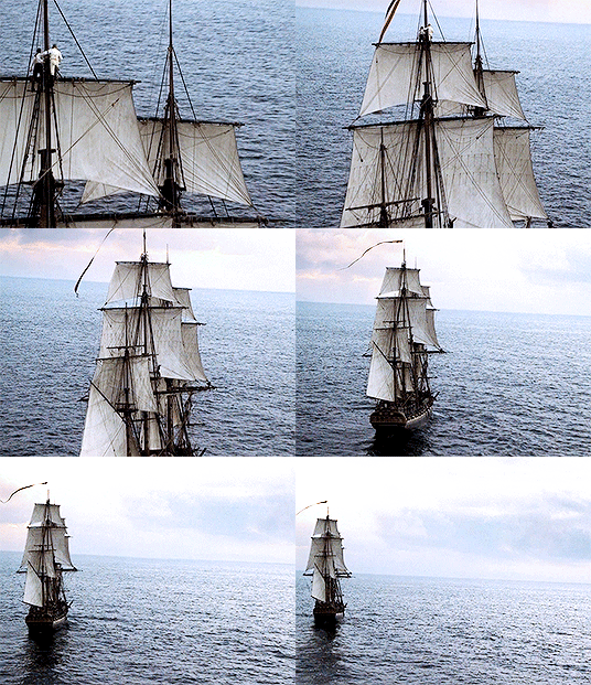
Buccaneers aboard the flagship of notorious 18th-century pirate Blackbeard apparently enjoyed a rollicking read, according to an unlikely discovery in a cannon chamber.
A handful of paper scraps recovered from the wreck of Queen Anne's Revenge have been identified as fragments of the 1712 book A Voyage to the South Sea, and Round the World, Perform’d in the Years 1708, 1709, 1710 and 1711, by Captain Edward Cooke.
The discovery was announced Thursday during a presentation by conservators from the Queen Anne’s Revenge (QAR) Conservation Lab at the annual meeting of the Society of Historical Archaeology held in New Orleans.
29 November 2017
05 November 2017
06 April 2017
Wonder.
Minard, Global Immigration, 1858
Charles Joseph Minard’s name is synonymous with an outstanding 1869 graphic depicting the horrific loss of life that Napoleon’s army suffered in 1812 and 1813, during its invasion of Russia and subsequent retreat. The graphic (below), which is often referred to simply as “Napoleon’s March” or “the Minard graphic,” rose to its prominent position in the pantheon of data visualizations largely thanks to praise from one of the field’s modern giants, Edward Tufte. In his 1983 classic text, “The Visual Display of Quantitative Information,” Tufte declared that Napoleon’s March “may well be the best statistical graphic ever produced.”
Today Minard is revered in the data-visualization world,
commonly mentioned alongside other greats such as John Snow, Florence
Nightingale, and William Playfair. But Minard’s legacy has been almost
completely dominated by his best-known work. In fact, it may be more accurate
to say that Napoleon’s March is his only widely known work. Many fans of the
March have likely never even seen the graphic that Minard originally paired it
with: a visualization of Hannibal’s famous military campaign in 218 BC, as seen
in the image below.
On its face, it may not seem remarkable that Minard is
remembered for this one piece of work; after all, many people owe their fame to
a single great achievement, and the Napoleon graphic is certainly worthy of its
reputation. But Minard was most definitely not a one-hit wonder.
CONNECT
The map of Napoleon's invasion of Moscow ... HERE.
10 November 2016
Hidden.
Robert Berlo got hooked on maps at an early age. As a kid
growing up in San Francisco he’d pore over roadmaps in the backseat of the car
on family vacations. Sometime around age 11 he started collecting them.
By the time Berlo died in 2012 at 71 he’d amassed more than
12,000 roadmaps and atlases. But he did more than covet and collect them. Over
the decades, Berlo spent countless hours mining his maps for data, creating
tables, charts, graphs, and still more maps on everything from transportation
systems to the population history of small towns. Now, Berlo’s collection is
getting another life as a repository of previously hidden information.
13 August 2016
08 August 2016
Inspire.
I’ve always loved the visitor maps you get when you visit a
national park. I’ve got little stashes of them tucked into the seat back
pockets of my car and hidden away in closets. I can never bring myself to
toss the maps when I get home from a trip. With their combination of photos,
maps and text they bring back memories of where I’ve been and inspire me
to think of adventures still waiting to be had.
Tom Patterson is one of the people who makes those maps. He’s visited more than 100 national parks, including some of the most far-flung and least visited. As a senior cartographer for the National Park Service, it’s Patterson’s job to make sure the maps visitors see at U.S. national parks, monuments, battlefields, and other sites are up to date and easy to use, even for people who aren’t cartographically inclined.
09 June 2016
Subscribe to:
Posts (Atom)