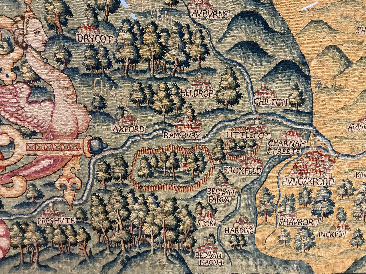
The Bodleian Map Room has the Oxfordshire Sheldon tapestry ...
Made from a mix of wool and silk the tapestries are both marvellous in their own right but are also important cartographic records, made at a time when England was beginning to be mapped properly for the first time. Each one would have originally measured approximately 15 by 20 feet and each has a "featured" county at its centre, bordered in red. Rivers and settlements feature prominently as do scenes of local interest such as the Rollright Stones, a prehistoric stone circle in north Oxfordshire, or a brief bit of text on the Worcestershire tapestry telling of a land slip. Important houses are shown though none as big as Sheldon’s, Weston House, which appears on all four tapestries, the very centre of the area the tapestries show. And what an area, when put together as a set of maps the range goes from as far north as the suburbs of Birmingham down past a beautiful, though comically inaccurate, White Horse at Uffington and from the Welsh border across to the Tower of London the whole of central England is depicted in glorious detail.




















































































No comments:
Post a Comment