
In school, we all learned about Paul Revere and his famous
April 18, 1775 ride through the Massachusetts countryside warning of an
impending British armed force marching from Boston, MA to the small towns of
Lexington and Concord. But, of course, there is much more to the story,
including the British commander of all troops in North America, British spies,
patriotic tavern keepers, an unsigned manuscript map, and a Boston publisher.
Tensions between the colonies and England reached a boiling
point in December 1773 with the Boston Tea Party when a group of
colonists dumped tea from England into Boston Harbor. As a result, the British
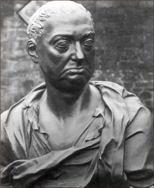
Parliament passed a series of laws that, among other things, installed British
General Thomas Gage, as the governor of the Colony of Massachusetts in May
1774. By the winter of 1774-1775, however, in the face of continued rebellious
activities, General Gage argued for an 18th century troop “surge” – as
many as 20,000 additional troops – to pacify the countryside.
Several years ago, I stumbled across an unsigned manuscript
map with the supplied title of “Roxbury to Concord. Roads & distances,
&c.” This unique map was acquired by the Library of Congress in 1867 as a
part of the Peter Force Collection, which includes more than 750
Revolutionary era printed and manuscript maps transferred to the Geography and
Map Division.


No comments:
Post a Comment