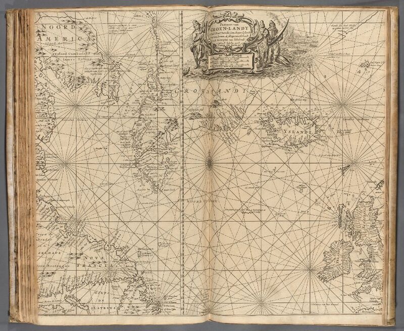
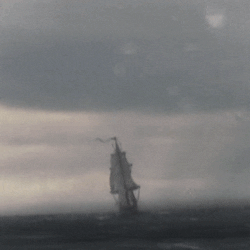
van Keulen, The New Great Bright Torch Sea, 1734
As long as people have ventured out in ships and exposed
themselves to the vagaries of wind and tide, they have endeavored as much as
possible to minimize the risks of life at sea. The earliest mariners, of
course, relied upon the oral transmission of instructions about the hazards of
navigation, methods of orientation, and anchorages along particular routes. The
ancient Greeks and Romans often codified those details in manuscript logs
(peripli), which listed sequentially the distances between ports and landmarks
along coastal routes. With improvements in the technology of orientation and
navigation in late medieval Europe, these textual guides evolved into portolan
charts which offered graphic tools for laying down a course and following a
coastal itinerary. Beginning in the late 16th century, the nascent cartographic
publishing industry found a receptive market for pilot books and sea atlases,
which provided collections of detailed charts and sailing directions for the
most frequently traversed routes.
The following pages will introduce some
of the most influential of these early guides to the realms of Neptune.


No comments:
Post a Comment