L'Enfant, Plan of the City Intended for the Permanent Seat of the Government of the United States, 1791
.jpg)
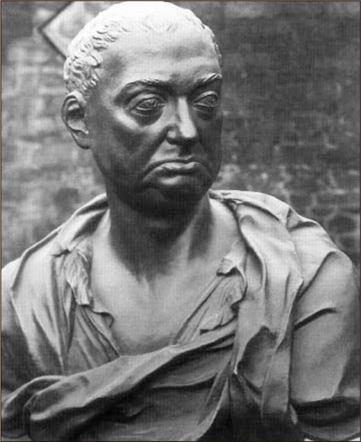
Pierre Charles L'Enfant was born on this date in 1754.
The plan of the city of Washington was designed in 1791 by Pierre L'Enfant, and mapped the following year; a design which remains largely in place. For nearly a century, the realization of physical changes to the original plan were gradual until the second important benchmark in the development of Washington's urban plan: the McMillan Commission and its 1901-02 recommendations. The McMillan Commission plans were implemented predominantly during the first three decades of the 20th century, and continued sporadically thereafter. For nearly 100 years, a legal height limit of 160' has preserved the broad, horizontal Baroque nature of the city, allowing light and air to reach the pedestrian level, and resulting in a picturesque skyline pierced by steeples, domes, towers and monuments.
On January 24, 1791, President George Washington announced the Congressionally-designated permanent location of the national capital, a diamond-shaped ten-mile tract at the confluence of the Potomac and Eastern Branch Rivers. A survey of the area was undertaken by Andrew Ellicott and Benjamin Banneker. Forty boundary stones, laid at one-mile intervals, established the boundaries based on celestial calculations by Banneker, a self-taught astronomer of African descent and one of the few free blacks living in the vicinity. Within this 100 square mile diamond, which would become the District of Columbia, a smaller area was laid out as the city of Washington. (In 1846, one-third of the District was retroceded by Congressional action to Virginia, thus removing that portion of the original district which lay west of the Potomac River.) In March 1791,the surveyors' roles were complemented by the employment of Major Pierre Charles L'Enfant to prepare the plan.
Major L'Enfant (1755-1825), a French artist and engineer who had formed a friendship with George Washington while serving in the Revolutionary War, requested the honor of designing a plan for the national capital. The fact that the area was largely undeveloped gave the city's founders the unique opportunity to create an entirely new capital city.
After surveying the site, L'Enfant developed a Baroque plan that features ceremonial spaces and grand radial avenues, while respecting natural contours of the land. The result was a system of intersecting diagonal avenues superimposed over a grid system. The avenues radiated from the two most significant building sites that were to be occupied by houses for Congress and the President.
L'Enfant specified in notes accompanying the plan that these avenues were to be wide, grand, lined with trees, and situated in a manner that would visually connect ideal topographical sites throughout the city, where important structures, monuments, and fountains were to be erected. On paper, L'Enfant shaded and numbered 15 large open spaces at the intersections of these avenues and indicated that they would be divided among the states. He specified that each reservation would feature statues and memorials to honor worthy citizens. The open spaces were as integral to the capital as the buildings to be erected around them. L'Enfant opposed selling land prematurely, refused to furnish his map to the city commissioners in time for the sale, and was reluctantly relieved of his duties by George Washington. Ellicott was then engaged to produce a map and reproduced L'Enfant's plan from his memory.

Great Courses Daily has more HERE and HERE.


No comments:
Post a Comment